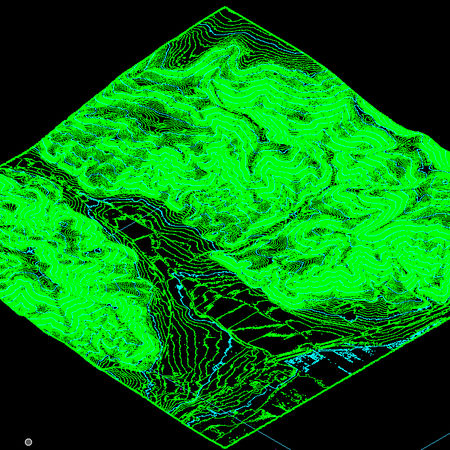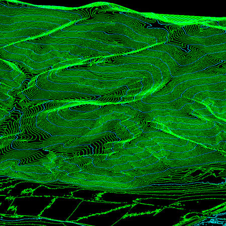
Modelos digitales de terreno recomendables para proyectar
Entre los modelos digitales de terreno disponibles ; hay que elegir los más útiles en cada fase del proyecto.
Para un estudio inicial es útil utilizar malla de terreno de 5m . Si la superficie de estudio la acotamos en menos de 200 Ha , también podemos trabajar con malla de 2m.
Y para trabajar en detalle siempre es recomendable utilizar la información lidar filtrada con sólo terreno y en zonas de vegetación densa con pocos puntos de terreno podemos añadir en el filtro la vegetación baja , que aunque eleve la cota del modelo digital en algunos centímetros , siempre nos permitirá tener información en zonas sin puntos terreno.
La utilización del modelo de superficies nos permitirá ver también otros elementos ,árboles , matorrales y construcciones ; que nos serán útiles a la hora de definir el recorrido y las zonas que no se modificarán en el modelado.
Among the digital terrain models available; you have to choose the most useful in each phase of the project. For an initial study it is useful to use a 5m ground grid. If the study area is limited to less than 200 Ha, we can also work with a 2m mesh. And to work in detail it is always advisable to use the filtered lidar information with only terrain and in areas of dense vegetation with few terrain points we can add low vegetation to the filter, which, even if it raises the elevation of the digital model by a few centimeters, always gives us It will allow information in areas without ground points. The use of the surface model will allow us to also see other elements, trees, bushes and buildings; that will be useful when defining the route and the areas that will not be modified in the modeling.
Power in Numbers
Generando campos de golf para el metaverso .
Programs
Locations
Volunteers
Project Gallery


